 Skip to content

Kiru Ward: A Comprehensive Profile of Mathioya Constituency's Agricultural Hub.
Kiru represents one of the three vital wards within Mathioya Constituency, situated in Kenya’s Murang’a County. This area combines rich agricultural potential with ongoing infrastructure developments that are transforming both its landscape and economic possibilities. This report explores the demographic characteristics, real estate market, and recent development initiatives in Kiru Ward and the broader Mathioya Constituency.
Geographic and Demographic Profile.
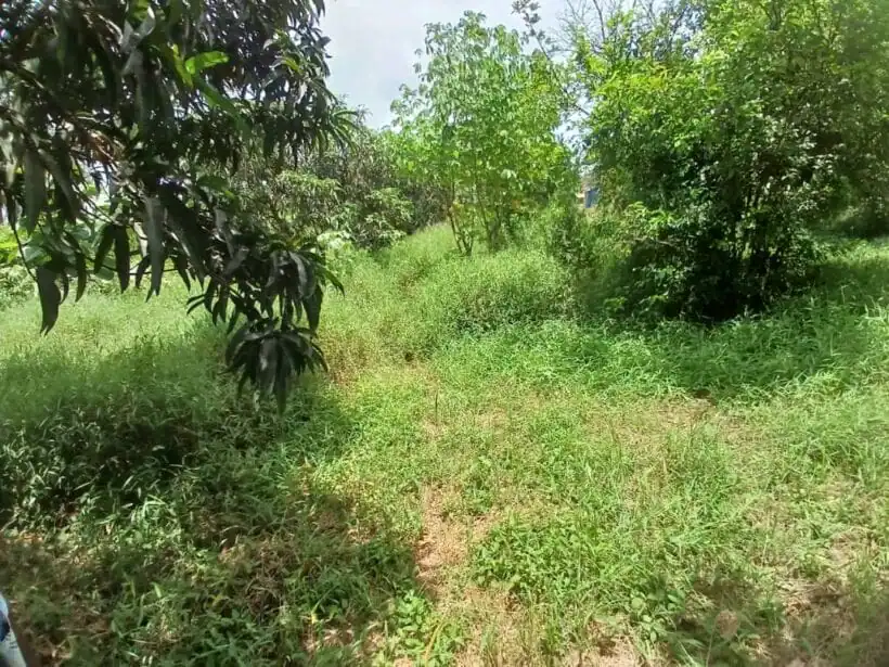
Kiru Ward forms part of Mathioya Constituency, which spans approximately 231 km² within Murang’a County. The constituency features predominantly steep, hilly topography and is situated in proximity to the Aberdare Ranges, creating a diverse ecological landscape. According to population data, Kiru had a registered voter population of 13,364 as of September 2005, with a general population of 26,281 recorded in earlier census data. More broadly, Mathioya Constituency had a total population of 92,814 according to the 2019 Population and Housing census.
The region’s population density is notably high, with Mathioya identified as the most densely populated constituency in the area according to historical district statistics. The ward sits within the western region of Murang’a County, characterized by upper highland humid and upper highland per-humid agro-ecological zones, making it particularly suitable for specific agricultural activities.
Climate Conditions.
Kiru benefits from Murang’a County’s favorable climate conditions, with annual temperatures ranging between 10°C and 25°C. The region receives between 750mm and 1700mm of precipitation annually, with the western highlands where Mathioya is located typically receiving higher rainfall amounts. This climate pattern creates optimal conditions for the cultivation of tea and other high-value crops that form the backbone of the local economy.
Economic Activities and Agriculture.
Kiru’s economy is predominantly agricultural, benefiting from its fertile soils and favorable climate. The ward’s agricultural profile is characterized by several key crops:
Major Crops and Agricultural Activities.
The area’s steep topography and climate create ideal conditions for tea production, which serves as the primary cash crop in the region. Lower elevations within Kiru and surrounding areas are suitable for macadamia nut cultivation, which was introduced in the mid-1980s by the Kenya Nut Company. In the upper parts of Mathioya, which experience cooler temperatures due to proximity to the Aberdare Ranges, farmers successfully grow pears, plums, apples, tea, and coffee.
This agricultural diversity provides multiple income streams for local farmers and contributes significantly to the broader economy of Murang’a County, which has a substantial agricultural contribution to its GDP according to economic data.
Real Estate Market: House and Land Prices.
The real estate market in Kiru offers a glimpse into the area’s economic development and investment potential, with both residential and commercial properties available.
Houses & Apartments for Sale in Kiru-Housing Market.
The commercial and residential property market in Kiru shows emerging development, with notable properties like the “Blessed JABEZU HOUSE 2020,” a two-storey commercial building located in Kiriaini town. This property, featuring a 196 square meter one-bedroom apartment, is listed for KSh 10,000,000, representing the upper tier of local property values.
In neighboring areas within Murang’a County, property prices range widely:
- A two-bedroom farmhouse in nearby Rwathia (Kangema) with 1,000 tea bushes is priced at KSh 3,600,000.
- Various three to four-bedroom houses across Murang’a County range from KSh 3,900,000 to KSh 14,000,000.
Property in Kiru for Rent & Sale -Land Prices.
Land values in and around Kiru reflect the area’s agricultural potential and growing development. While specific listings directly in Kiru are limited in the available data, nearby areas provide context for regional land prices:
- Agricultural land in neighboring Kiharu is listed at KSh 950,000 per acre, with flexible payment terms (KSh 650,000 deposit with 50% balance payable over six months).
- Commercial plots in Makuyu (40×80) are priced at approximately KSh 4,500,000.
- Residential and agricultural land in the broader Murang’a region ranges from KSh 1,200,000 for 1/8 acre plots to several million per acre for prime agricultural land.
These prices indicate an active real estate market with significant variations based on location, land use potential, and infrastructure access.
Recent Infrastructure Development.
Kiru has benefited from substantial infrastructure investments in recent years, focusing particularly on water projects and road improvements that aim to enhance agricultural productivity and quality of life.
Water Projects.
Two major water projects have been implemented to support both domestic use and agricultural productivity:
- The Kandabibi/Gikindu irrigation project has received KSh 60 million in government funding to revive operations after stalling for 15 years. This project will:
- Serve more than 1,000 households, expanded from the original 100 households.
- Draw water from River Mathioya via a 30-kilometer pipeline.
- Enable farmers to transition to commercial agriculture.
- The Gatango water project, funded at KSh 220 million, will benefit over 60,000 households across both Mathioya and part of Kiharu Sub-counties. This project features:
- A sedimentation tank at the edge of Aberdare forest.
- Capacity to treat 4,000 liters of water daily.
- Distribution of 2,000 liters to Gaturi ward in Kiharu with the remainder serving Mathioya residents.
Road Infrastructure.
A significant KSh 140 million feeder roads rehabilitation program has been implemented in Mathioya Constituency, with direct benefits for Kiru Ward. This initiative includes:
- Improvement of 15 feeder roads totaling 60km across the constituency.
- Allocation of 20km of road improvements specifically within Kiru ward.
- Implementation through the National Government Constituency Development Fund.
- Use of local contractors employing community members for manual labor.
This road improvement program was designed to ensure continued agricultural and economic activities during rainy seasons, addressing a critical infrastructure need for local farmers who depend on reliable transportation to market their produce.
Conclusion
Kiru Ward in Mathioya Constituency represents a dynamic agricultural region within Murang’a County with significant developmental potential. The area’s fertile soil and favorable climate create ideal conditions for tea production and other high-value crops, while recent infrastructure investments in water and road systems are enhancing both agricultural productivity and quality of life.
The real estate market shows signs of growth, with property values reflecting the area’s agricultural potential and improving infrastructure. As these development initiatives continue, Kiru is positioned to strengthen its role as a productive agricultural hub within Mathioya Constituency while offering increasing opportunities for investment and economic advancement.
Related
1. What are the current house prices in Gituhi?
2. How have land prices in Kamacharia changed over the past decade?
3. What recent infrastructure developments have taken place in Wangu?
4. What are the main economic activities in Mugoiri?
5. How does the population density of Murarandia compare to other areas in Muranga County?